
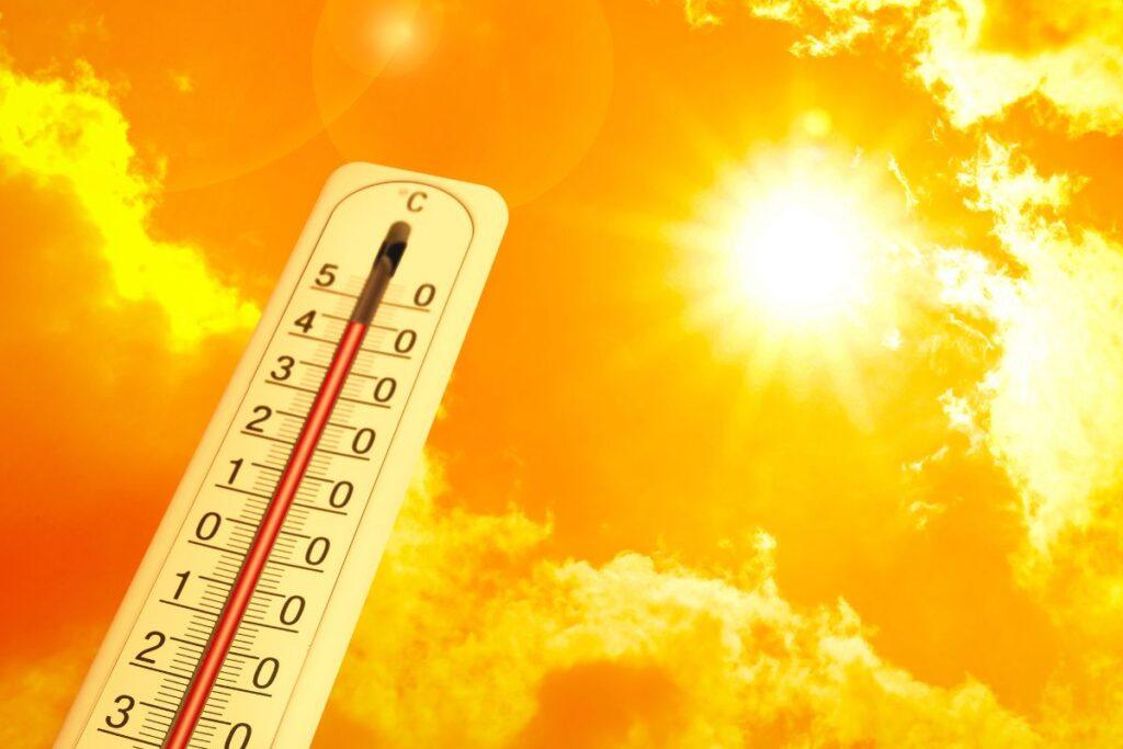
Britain is now facing a second and far more severe heatwave. The Met Office has issued a Red Extreme Heat Warning — the highest level warning reserved only for the most severe weather events. Temperatures are now forecast to reach 38°C by Wednesday, 25 June, which would break the UK’s all-time June record of 35.6°C set in 1976.
The latest UK weather forecast shows that Britain is going to face the highest temperatures of the year so far. What began as a warm spell has now escalated into a record-breaking heat emergency across much of England and Wales.
Forecasters say the heat will get intense from Friday and will peak early next week. Temperatures could reach 38°C by Wednesday — far beyond the 33°C originally predicted — and could break the UK’s long-standing June temperature records.
The Met Office has issued a Red Extreme Heat Warning. They said the sudden and intense heat will impact not just vulnerable people but the wider population, and will put significant pressure on health services, transport, energy and water supplies.
- Met Office Red Extreme Heat Warning now in place
- Temperatures forecast to reach 38°C — breaking the June record of 35.6°C
- London and southeast England are on the highest level of alert
- Heat-health alerts active until at least Thursday, 26 June
- The UK is now officially in its second heatwave of 2026
- Overnight temperatures staying above 20°C — called Tropical Nights
- This heatwave is more dangerous than 2022 due to extreme humidity
- Some places will be hotter than Greece and Spain
Hot Weather Sweeps Across the UK — Again
During the last couple of weeks, the UK had mixed weather — sunshine, clouds, rain, and hail. But warm weather has now firmly taken over, and this time with far greater intensity than the Bank Holiday weekend heatwave in May.
The Sky News report indicated that temperatures were going to reach 28°C in the south. That forecast has since been significantly revised upwards. Southern parts of England are now approaching 30°C by Friday, with the heat building rapidly through the weekend and into next week.
Kew Gardens recorded the highest temperature of 26.6°C in London on 8 April. That figure has long since been overtaken. Forecasters now believe new June records will be set in the coming days.
The average May high in London is around 19°C. This week, the capital is expected to reach well above 30°C — with 34°C to 36°C possible by Tuesday and Wednesday.
Met Office Issues Red Warning — 38°C Now Forecast
According to the Met Office, temperatures will now peak significantly higher than the 33°C originally forecast for the Bank Holiday weekend.
Met Office Deputy Chief Forecaster Mark Sidaway said: “Red warnings are reserved for the most severe events and we’re expecting severe and significant impacts from this heatwave, with health impacts likely for many, even beyond those who are normally more vulnerable to the heat.”
He added: “As well as very high daytime temperatures, there will be consecutive nights where temperatures do not drop below 20°C — called Tropical Nights. This will make it very hard for people to recover from the daytime heat, exacerbating heat stress impacts.”
Forecasters confirm this is now the first official Red Extreme Heat event of 2026. In the UK, a heatwave is declared when temperatures meet or pass a set threshold for three consecutive days — that criteria has now been met across multiple counties.
June 2026 Heatwave — Day by Day Forecast
| Date | Peak Temperature | Warning Level |
|---|---|---|
| Friday 20 June | 32°C — East Anglia | Amber |
| Sunday 22 June | 32°C — South & Southeast | Amber |
| Monday 23 June | 34°C — South & Southeast | Amber |
| Tuesday 24 June | 37°C — Southern England | Red |
| Wednesday 25 June | 38°C — Central/Southern England | Red |
| Thursday 26 June | 34°C — Southeast England | Red |
Areas Most Likely to See the Hottest Weather
The same counties that saw intense heat during the Bank Holiday weekend are now facing even higher temperatures. London could reach 36°C by Tuesday. Surrey, Hertfordshire, and Yorkshire are again among the areas on high alert.
The Met Office counties most likely to see temperatures near or above 35°C include:
- Essex
- Surrey
- Kent
- Hampshire
- Bedfordshire
- Buckinghamshire
- Hertfordshire
- Norfolk
- Suffolk
- Cambridgeshire
- Gloucestershire
- Warwickshire
- Northamptonshire
- Staffordshire
- Worcestershire
Meanwhile, Scotland remains considerably cooler. Parts of the Highlands may only reach between 14°C and 16°C, with northwestern Scotland staying cool, cloudy, and seeing occasional rain.
Met Office Deputy Chief Forecaster Greg Wolverson said: “This week’s weather reflects a contrast we often see in summer, with more unsettled conditions passing to the northwest while heat builds in the south and east.”
Essex Could Be Hotter Than Majorca — Again
During the Bank Holiday weekend, Essex was forecast to beat Majorca in temperature. That comparison is even more striking now. Essex could reach 36°C to 37°C by midweek — comfortably above the typical summer highs of 28°C to 30°C seen across the Balearic Islands.
Temperatures above 30°C in May were already rare — the last time Britain recorded that kind of heat during May was in 2012. What is happening in June 2026 is rarer still, and on a significantly larger scale.
Also read: Keir Starmer Faces Labour Revolt After Crushing Election Losses
Why This Heatwave Is More Dangerous Than 2022
The July 2022 heatwave set the UK’s all-time temperature record. But scientists say the June 2026 event could be more dangerous — because of humidity.
University of Reading experts explained that high humidity prevents sweat from evaporating off the skin, which is how the body cools itself. During the 2022 heatwave, humidity levels were relatively low. This week, dew points are forecast to reach 22°C — making the heat far more oppressive and physically exhausting, even for healthy adults.
Health Alerts — Now at the Highest Level
People are being advised not to go outside during the hottest part of the day unless absolutely necessary. The risk of dehydration, heat exhaustion and heat stroke is significantly higher than during the May heatwave.
The British Red Cross has told people to plan carefully before going outside with family and friends. Dafydd Beech from the British Red Cross said: “It’s important to take care while you have fun with friends and family to avoid becoming dehydrated, getting sunburn or even heat stroke.”
The UK Health Security Agency has issued Heat Health Alerts running until at least 8pm on Thursday 26 June. These cover health and social care services across England.
Water Safety Warning
During the May 2026 heatwave, at least 15 people died in water-related incidents across the UK, including nine children. With a second and more intense heatwave now arriving, the Royal Life Saving Society has repeated urgent water safety warnings.
Sea surface temperatures remain much lower than they would be in mid-summer. Entering cold water unexpectedly can cause cold water shock — a sudden increase in breathing and heart rate that can trigger panic.
If you find yourself in difficulty in open water, remember to Float to Live — tilt your head back so your ears are submerged, relax, and control your breathing.
Sources & References — Updated
- Sky News — UK temperatures forecast above 30°C
- Birmingham Live — Bank Holiday weekend heatwave forecast
- Express — London, Surrey, Hertfordshire and Yorkshire heat alert
- Thurrock Gazette — Essex vs Majorca temperature comparison
- Met Office — Red Extreme Heat Warning, June 2026
- University of Reading — Heatwave Expert Comment, June 2026
- RLSS UK — Water Safety Warning, June 2026
- UK Health Security Agency — Heat Health Alerts, June 2026
- The Guardian— Met Office issues rare red weather warning for Wednesday and Thursday